Category: Technology
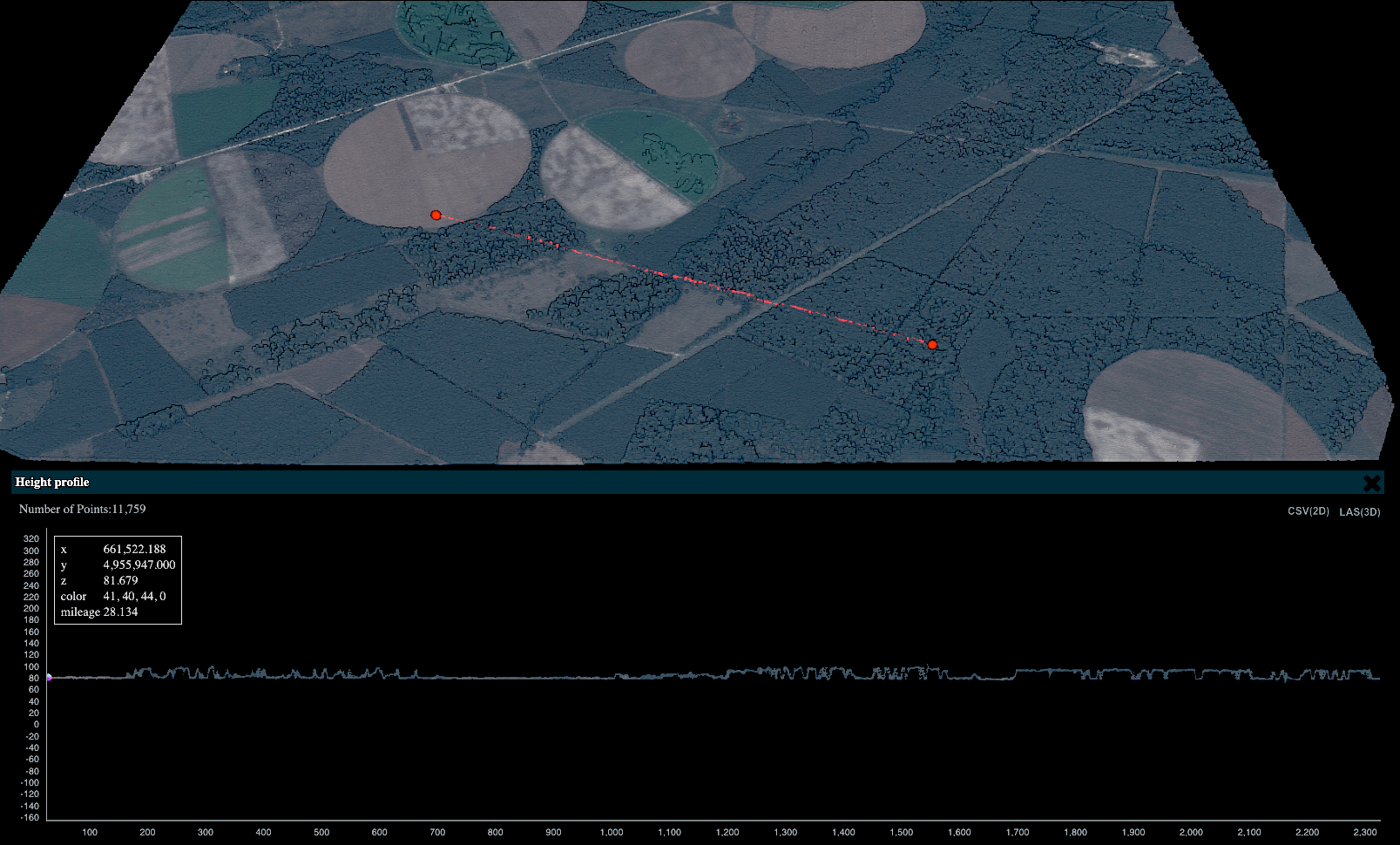
Imagine being able to take a stereoscopic image from space of anything on Earth, and then use this image to build a 3D digital
Dataiku and Kayrros understand the value of unconventional data in enabling faster action with hyper-agility. Our recently announced partnership represents a shared ethos in
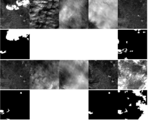
Automated cloud filtering for clearer understanding Figure 1. Forest under cloud coverage Source: Kayrros A computer can be taught how to speak languages, recognize
The papers introduce new image processing techniques that will progress the science driving geospatial monitoring Kayrros is very pleased to announce that six scientific
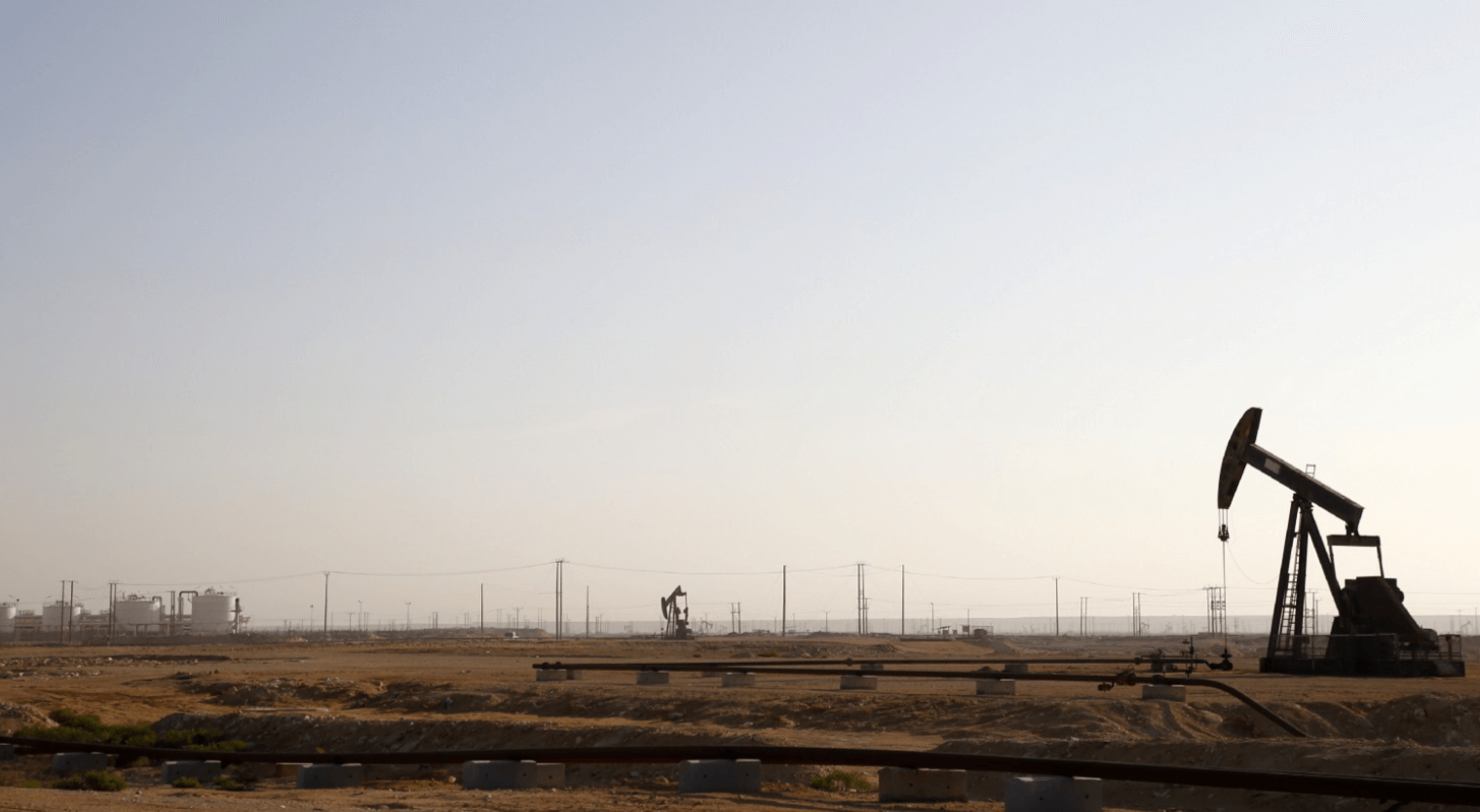
The back-to-back OPEC+ and G20 meetings resulted in the largest (in volume) and broadest (in participants) production cut deal in oil history and seem
Whether tracking crude oil supplies or methane emissions, Kayrros has always practiced a culture of collaboration and partnership with a range of external scientific
When mathematical optimization, machine learning and energy meet “We are basically quantifying crucial issues like energy patterns or global emissions at planet scale, using
Social media bring value to satellite alert systems through natural language processing Imagine a satellite orbiting the globe, quietly taking snapshots of the Earth’s
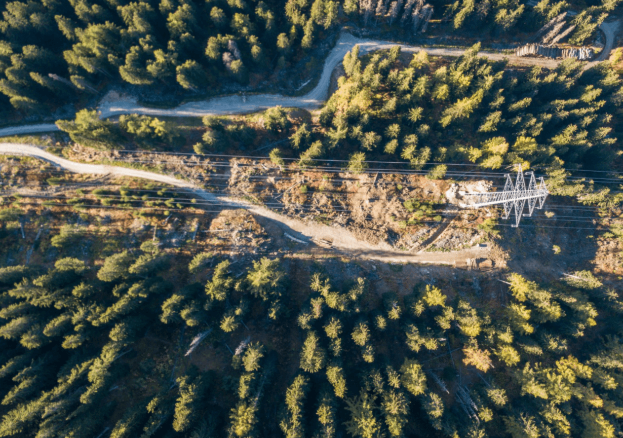
In a new algorithmic alert system, combining advanced mathematics and satellite imagery eliminates the blind spots of HV powerlines Picture vast stretches of powerlines,
CATEGORIES
Categories
- 3D Mapping (1)
- Carbon Watch (4)
- Cement (1)
- China Power Watch (1)
- Company (16)
- Crude Oil Intelligence (29)
- Demand (10)
- Emissions (14)
- Events (1)
- Investors (1)
- Jet Fuel Demand (1)
- Kayrros Eye (9)
- LNG (2)
- Methane Watch (2)
- On-Road (3)
- Operations (14)
- Platform (4)
- Powerlines (1)
- Press Release (8)
- Production (16)
- Refineries (7)
- Technology (16)
- Traders (24)
- Uncategorized (2)
- Unclassified (2)
- Wildfire Risk Monitor (1)


