Using satellite imagery and deep learning to shed light on the blind spots of the US tight oil boom
Twenty feet under a Haussmanian boulevard in Paris, one hundred of the capital’s top data scientists are designing a new vantage point from which to observe the world’s biggest industry — in code. Thousands of satellite images await processing by machine-learning algorithms, designed to observe US well completion data from a new angle, monitoring the life-cycle of well construction from spud to completion. Traditionally, the rig count has been the main activity indicator across the shale patch, and one of the main components for production modelling. But innovations in the fast-moving Data Revolution are breaking these boundaries. The new completions count is pushing analysis into the future, fueled by the power of alternative technologies to set the direction for a new level of transparency on US tight oil operations.
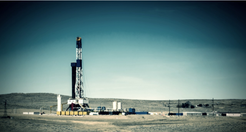
The shale revolution is shaking the traditional framework of global oil markets after having propelled the US into the world’s top producer of crude oil for the first time since 1974. However, as the tight oil boom continues to take off, rig-based production models have lagged behind its demands. Unlike conventional oil, drilling is not always an immediate prelude to production in the tight oil patch, but must be followed by hydraulic fracturing for oil to flow. However, this time in between the drilling and fracking stages — when a well is under ‘drilled but uncompleted’ (DUC) status — is a blind spot for rig counts, therefore adding a layer of complexity to shale oil production modelling and leaving the exact number of completed wells subject to educated guesses. Satellites and deep learning are stepping in to change that.
Kayrros is operating in a space of state-of-the-art data fusion capabilities to bring new transparency to the tight oil patch. Through selecting and combining alternative data streams, the entire construction process of every well in the five biggest onshore oil basins of the US can be tracked from the sky, with eyes on-site as soon as a drilling permit is filed, through to when a frac crew leaves. Data scientists employ optical and synthetic aperture radar (SAR) imagery to identify rigs and frac crews across basins, which indicate the construction status of wells. The two types of imagery work in tandem, with optical enabling detailed distinction of rigs and pressure pumpers while SAR spots metallic structures on the well site, even if the sky is covered in clouds. After undergoing processing by machine-learning algorithms, analysts extract key operational data such as a realtime view of wells completed, frac crews and DUC inventory, broken down by operators and service contractors.
Kayrros is harnessing the power of alternative technology to bring the fundamental need for better data forward, allowing analysts to extract new operational insights and build more accurate production models. E&P Operations Intelligence gives an edge on competitive intelligence to operators and greater transparency to investors by providing more accurate and timely data. Operators gain visibility on their peers’ completion activity and efficiency. Investors gain transparency on company activity levels and whether they are on track to achieving guidance. The data override publicly-available information to produce realtime intelligence on well pads across the US tight oil hotspots, changing the landscape of US shale data.