





Navigate climate-driven physical risks and regulatory challenges with independent geospatial data combined with AI.
Unveil investment opportunities and volatility insights shaped by the energy transition, geopolitics, and the AI revolution.
Tailored analytics and models to solve your most complex business challenges. Cross the chasm from prototype to production faster.
Navigate climate-driven physical risks and regulatory challenges with independent geospatial data combined with AI.
Unveil investment opportunities and volatility insights shaped by the energy transition, geopolitics, and the AI revolution.
Tailored analytics and models to solve your most complex business challenges. Cross the chasm from prototype to production faster.
///
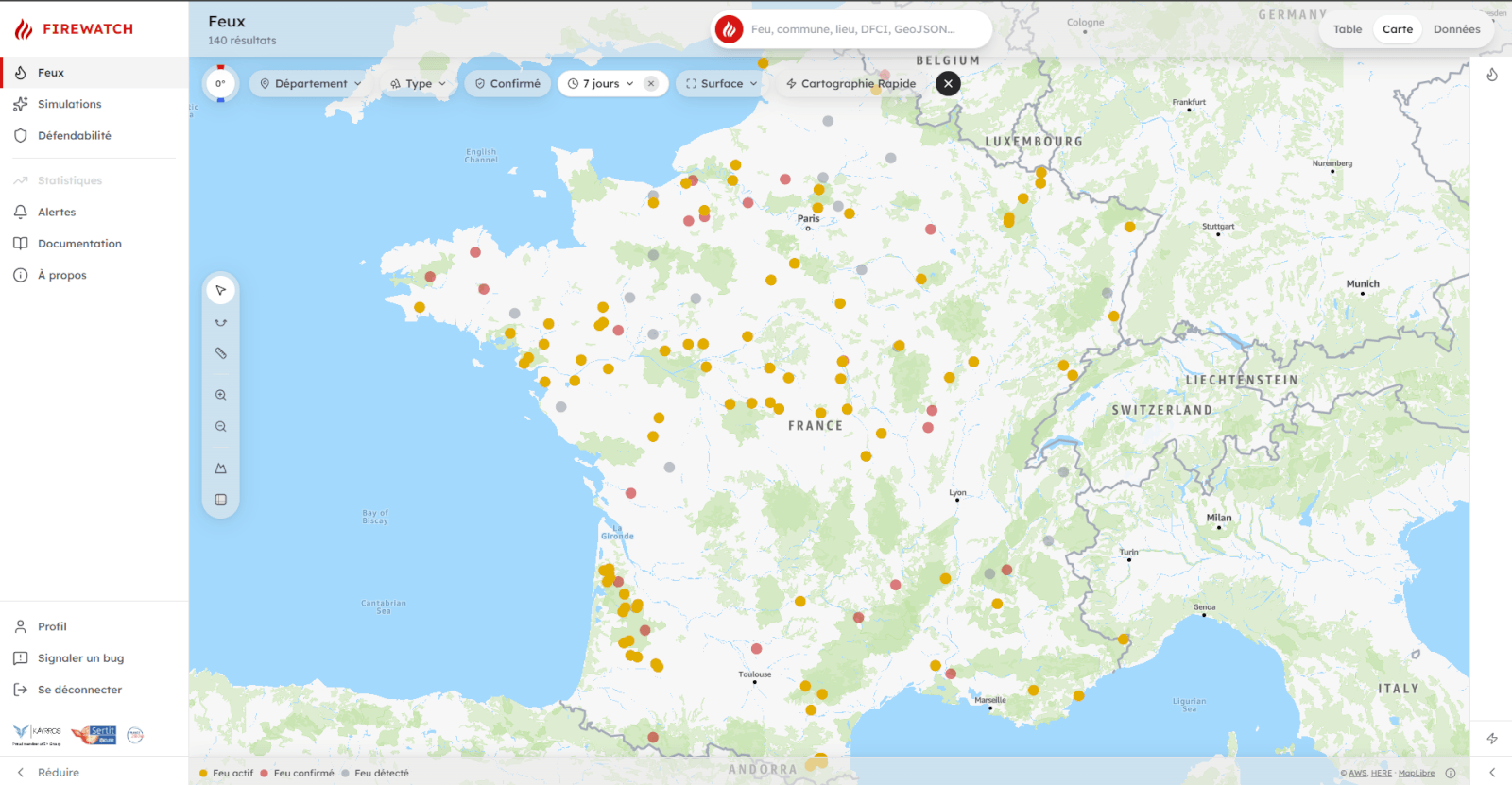
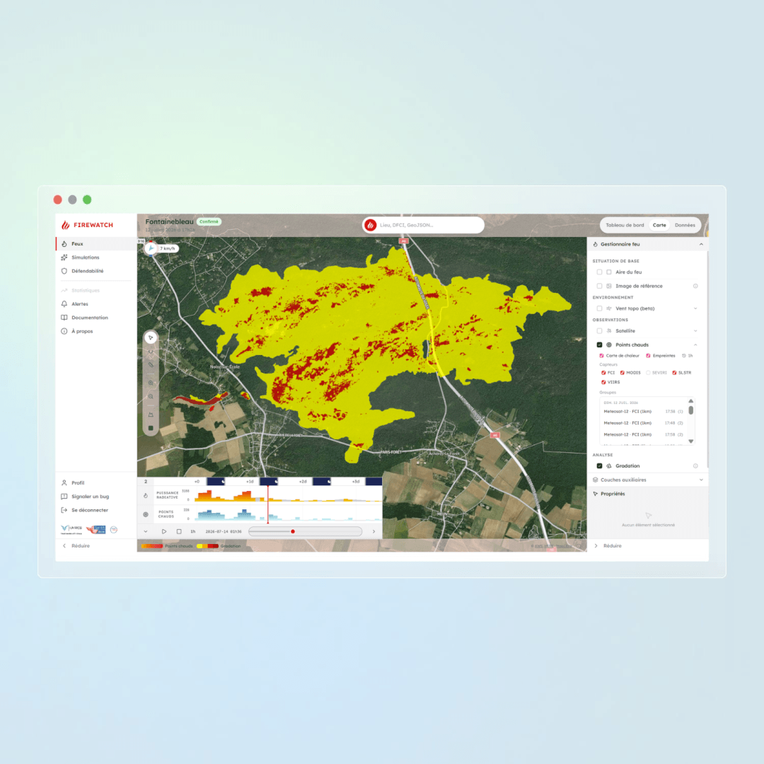
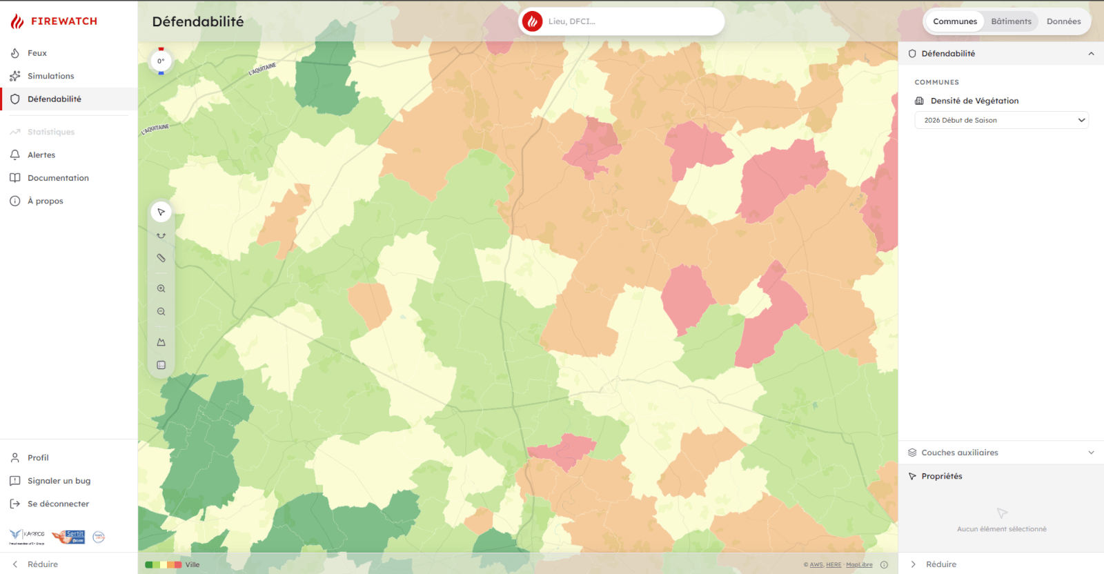
FireWatch is a wildfire prevention and crisis management solution developed by Kayrros, in partnership with SERTIT.
FireWatch is used by the French Civil Security authorities as part of an operational demonstration programme led by the Directorate General for Civil Security and Crisis Management (DGSCGC) of the French Ministry of the Interior.
Users: National Civil Security Command, defence and security zones, and local fire and rescue services (SDIS).
An innovation accelerated through France 2030 funding, operated by CNES.
Anticipate, monitor and protect against wildfires across French territory in near-real time using satellite technology.
///
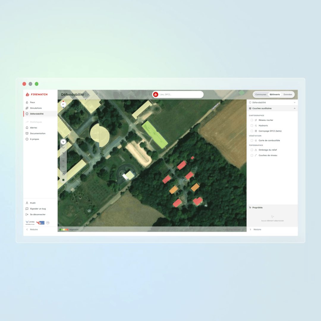
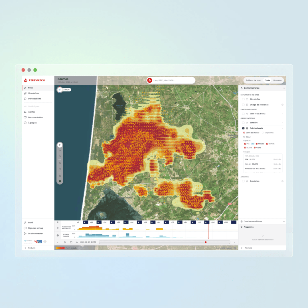
Every year, they pose an increasing threat to populations, infrastructure and ecosystems. FireWatch provides crisis management stakeholders with a near-real-time view of fire evolution and the defensibility of buildings, using satellite imagery deployed nationwide.
///
Continuous monitoring across the entire country using multispectral optical satellite imagery.
Kayrros & SERTIT are two leading French players with a combined 40 years of experience in satellite image processing
Your satellite ally to prevent, manage, and understand fires.